
Maple Heights Neighbors by Block
Public records can describe the block around a Maple Heights address, but they do not combine into a complete list of neighbors. The most dependable starting point is the parcel map and card, followed by the Recorder only when an instrument must be checked. Election material and civic sources add narrower, separately governed context. Read each result as evidence about the record’s subject, not as proof that every person tied to an address is presently there.
| Block source | What it shows about the block | Access |
|---|---|---|
| MyPlace map and parcel card | Parcel locations, addresses, property-card links, transfers, and map context | Public county web service; a parcel beside another is not a household relationship. |
| Recorder Official Records | Recorded instruments, named parties, legal descriptions, and document dates for a specific parcel | Official portal and counter; does not identify every nearby person. |
| Board street-order materials | A registered-voter records product by street and election geography | Board request and posted product route, with protected information excluded. |
| City district and block-watch material | Street-to-district civic orientation and historical meeting evidence | City guide and Council material; no current public member directory was found. |
| Library, museum, and directory sources | Dated address listings and local-history clues | Branch, repository, or appointment route; voluntary and historical material is not comprehensive. |
For a Maple Heights block, an owner, a tax-mail recipient, a recorded party, and an occupant are different relationships. That distinction matters when reading nearby parcel cards. A parcel card supports property research; it does not prove the current people at that site or across the street.
Maple Heights Neighbor Voter Records
Ohio’s public-voter rules are more limited than a neighborhood search. Ohio My Voter Information is an individual lookup that requires first name, last name, and county, then may offer a street-name choice to narrow a result. It is not a public street browser. The Cuyahoga County Board of Elections has a separate public-records route for existing records and a posted product list for poll books, lists, maps, statistics, and the Street Range Guide.
Poll-book products can be ordered in street order and can include party affiliation and participation history for the stated prior-election period. They never reveal ballot choices. Ohio law excludes confidential registrations, protected addresses, and other protected information from public release. A careful request names a specific street or range, a record date, and a desired output format, while asking the Board to apply its required redactions.
The Board of Elections public-records policy explains inspection, request, and copy channels for its records.
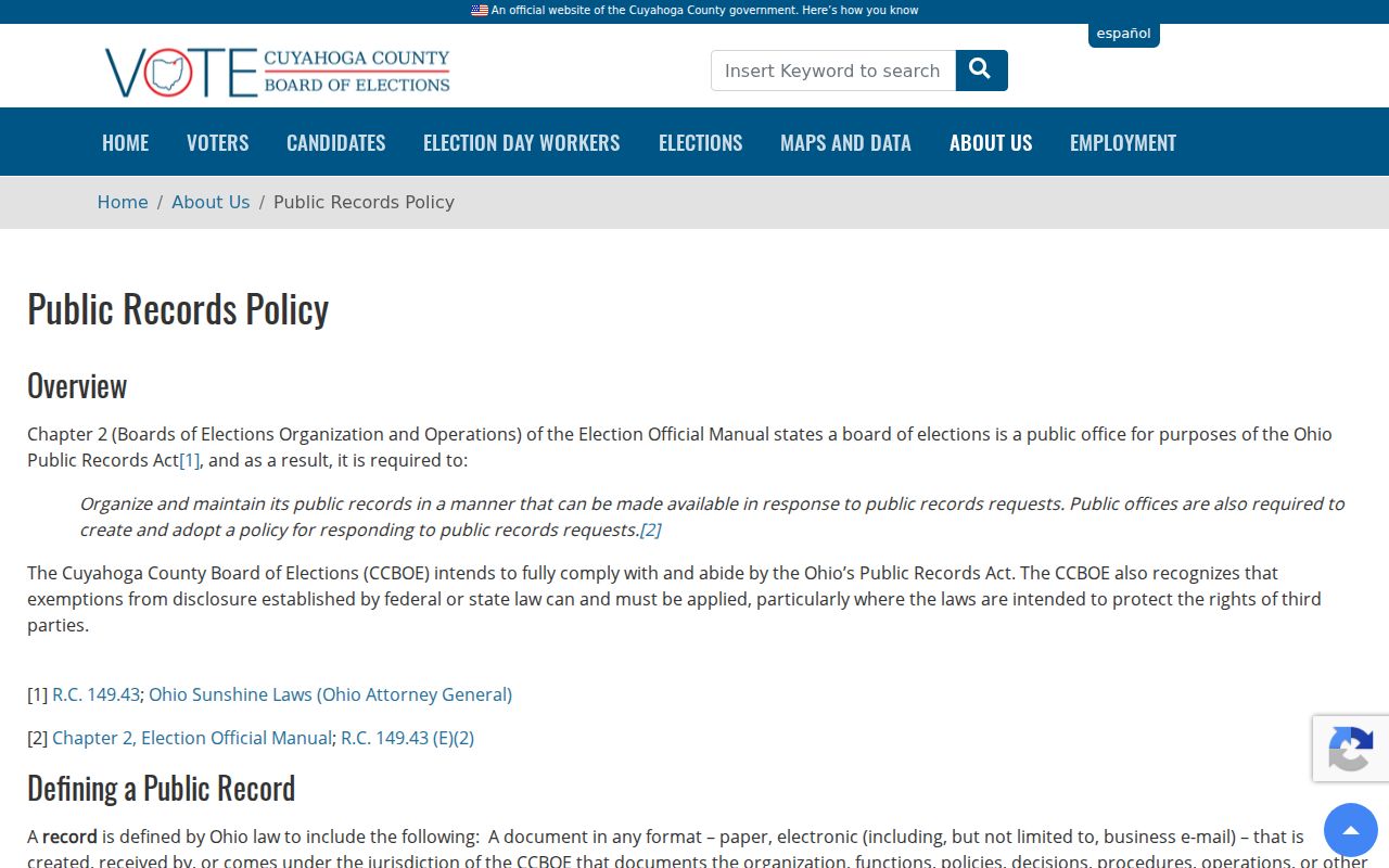
For Maple Heights, the policy is the correct route for a bounded request, rather than treating a name lookup as a map of neighbors.
Board of Elections departmental contacts provide the public-records contact and registration desk channels.
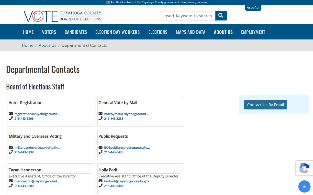
For Maple Heights, use the Board’s official contact information for questions about a list product, an inspection, or an address-related record concern.
Map a Maple Heights Neighbor Block
The adjacent-parcel method starts with a target parcel rather than with a person. In MyPlace, select City: Maple Heights, choose Address, and open the matching property card. Use its map view to zoom in and click the parcels immediately beside or across from the target. The map instruction is simply to zoom in and click a parcel for more information. The captured public material did not verify a special adjacent-parcel or radius tool, so no such tool should be assumed.
- Find the target address in MyPlace and note the parcel ID, address, map position, and document-list path.
- On the map, select only the adjoining or across-street parcels needed for the defined block question, then record each parcel ID and address.
- Open only the necessary parcel cards, note the listed owner and mailing-address context as a property relationship, then compare Transfers or document-list routes with the Recorder’s instruments.
- For a dated land or street question, add one relevant map, tax record, or directory entry instead of compiling a present-tense people list.
This compact flow traces parcel geography and recorded land history. The Maple Heights street directory follows the broader address-by-address record chain when the question concerns an entire named street.
Maple Heights Civic Contact Layers
Maple Heights has civic contact layers, not a current public neighborhood-association roster. The City guide maps streets and ranges to seven Council districts. Council records documented District 1 and District 7 block-watch meetings in 2023, but those notices do not establish a current group or a membership list. The responsible next step is to use the City’s current Council contact path to ask whether a local civic route is active.
| Civic layer | What the source supports | Appropriate use |
|---|---|---|
| City Council Districts 1–7 | Street-range and district orientation from the City guide | Find the civic district for a street range, not a resident list. |
| District 1 Block Watch | A 2023 Council-minutes meeting notice at St. Martin of Tours | Historical evidence only; verify any current contact with the City. |
| District 7 Block Watch | A 2023 Council-minutes meeting notice at Alpine Senior Living | Historical evidence only; no online membership roster was located. |
| Little Red Schoolhouse Historical Society | School, civic, church, fraternal, and founder collection categories | Local-history lead or appointment request, not a live roster. |
| Cuyahoga East Chamber, Maple Heights | Public member-organization directory | Organization context only, not a directory of private households. |
The Cuyahoga East Chamber’s Maple Heights page is a public community contact source.
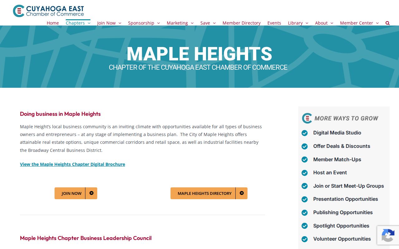
The Chamber can point to an organization layer around Maple Heights, while its member information remains distinct from a household record.
The Chamber’s Maple Heights directory shows that public organization directory separately.
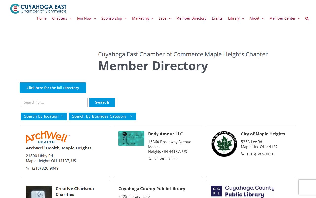
Use that listing to find public organizations or services, not to infer who lives on a block.
Maple Heights Community Development is another City contact route for a civic or neighborhood-oriented question.
A City department contact can help route a question about an existing program or record without turning a block inquiry into a personal directory.
Maple Heights Neighbor Sources Compared
Official and commercial neighbor tools serve different purposes. County and City sources identify the custodian, record type, date, and access route. A commercial product may repeat data from unknown sources or dates. For a block question that requires a record-backed answer, start with the parcel and document trail, then keep any nonofficial result separate from the evidence.
| Source category | Best use | Limit |
|---|---|---|
| Official parcel and Recorder records | Check land geography, instruments, and the stated relationship to a parcel | They do not create a list of current people at nearby addresses. |
| Board and City public-record channels | Request a defined, existing record or confirm civic geography | They apply statutory exclusions and do not supply protected data. |
| Commercial neighbor-lookup category | Use only as an unverified lead, if at all | It is not proof and should not replace a custodian’s record. |
When a name, address, or ownership detail conflicts, preserve the official record identifier and ask the responsible office about the underlying field. MyPlace itself cautions that it is a public convenience service rather than the official county record.
Historic Maple Heights Block Context
A block-history question is stronger when it is time-bounded. Map the target parcel and two adjoining parcels, note their legal descriptions, retrieve only the instruments necessary to understand the lot sequence, and add one dated directory, tax, or map source. This produces a source-checkable local history without converting a set of old records into a claim about the present.
Maple Heights was the northwestern part of Bedford Township before village incorporation in 1915. Older materials can therefore be filed under Bedford Township rather than the modern city name. County Archives holds maps, tax records, appraisal cards, and other historical property sources, while the Little Red Schoolhouse preserves local civic, school, church, fraternal, and founder materials. Those collections can clarify old street vocabulary, but land facts still need Recorder or Archives corroboration.
Verify a Maple Heights Boundary Street
Postal, City, and election geography are not interchangeable. For a Maple Heights boundary-street question, confirm the parcel’s City field in MyPlace first. Then use the City’s streets-by-district table for a civic district and the Board Street Range Guide for odd or even range, ward, precinct, ZIP, and legislative or school-district context. Each source should be recorded with its date and agency.
USPS confirms a delivery format and ZIP, not municipal jurisdiction. A difference between a postal line and a county parcel field can reflect routing, an address-format issue, or a border location. Keep the exact address range with the source record before asking a City department or Board office to clarify the applicable geography.
Privacy Limits for Maple Heights Neighbors
Nearby parcel information is not a public household roster. The county property card can show a property relationship and tax-mail context, but it cannot establish everyone at the site. Ohio voter records exclude confidential registrations, Safe at Home participants, and other protected information. Utility and delivery records are not public resident lists, and motor-vehicle personal data is separately protected. A missing result can be a privacy safeguard, not a research failure.
For a wrong parcel, ownership, or mailing field, contact MyPlace, the Fiscal Office, or the Recorder according to the underlying record. MyPlace says its data is not the official county record, so a correction belongs with the office responsible for the source. Safe at Home and other eligible protections have their own statutory processes. Do not seek another person’s protected address or submit a change request on someone else’s behalf.
Lawful use. Use Maple Heights block records for personal, lawful civic or historical research, never to watch, stalk, harass, intimidate, or harm another person.