
Maple Heights ZIP Code Coverage
The record evidence firmly supports one primary delivery ZIP for Maple Heights: 44137. City Hall, the Maple Heights Branch Library, City departments, police and Mayor's Court materials, the Senior Center, and several polling locations use that code. The research did not capture official USPS or City evidence establishing a Maple Heights delivery address in adjacent 44125 or 44128. Those codes should remain address-level questions, not added to a Maple Heights ZIP list by proximity alone.
| ZIP | Areas Covered | Post Office | Notes |
|---|---|---|---|
| 44137 | Primary Maple Heights delivery ZIP. City Hall, Library Lane branch, City departments, and polling locations use it. | USPS address lookup supplies the standardized city line. | Use City: Maple Heights with MyPlace, but its visible search control has no ZIP mode. |
| 44125 | No official USPS or City source in the research established a Maple Heights delivery address. | No Maple Heights post-office evidence captured. | Verify only with an exact-address USPS result and the County parcel city. |
| 44128 | No official USPS or City source in the research established a Maple Heights delivery address. | No Maple Heights post-office evidence captured. | Verify only with an exact-address USPS result and the County parcel city. |
The USPS ZIP Lookup is the delivery authority for an exact street address. Its result can standardize a submitted address, but USPS cautions that a ZIP result does not confirm that a person or organization is at that address.
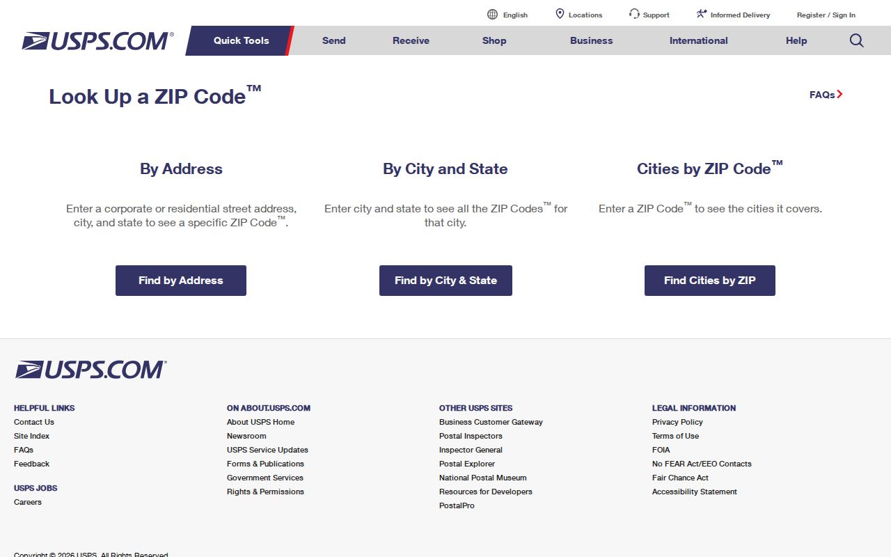
That distinction keeps a postal result useful without turning it into a claim about city limits, a parcel, or a person.
Maple Heights Address Checks
USPS offers three different lookup modes. The ZIP-by-address mode accepts company as an optional field, street address, an optional unit, city, state, and ZIP. A separate City/State mode lists postal codes, while a ZIP-to-city mode lists cities. For a Maple Heights edge address, use the full address mode rather than a city-name or nearby-ZIP assumption. Preserve the standardized result and ZIP+4 when it is displayed.
| USPS lookup mode | Fields or input | Use |
|---|---|---|
| ZIP by address | Company optional; street address; unit optional; city; state; ZIP | Confirms the delivery ZIP and standardized address for one location. |
| City/State to ZIPs | City and state | Lists postal codes associated with the postal query, not parcel jurisdiction. |
| ZIP to cities | Postal code | Lists recognized city names for postal purposes. |
County records use a different vocabulary. A situs address is the parcel's physical location. A mailing address is where tax or record mail is sent. A legal description is the lot, block, subdivision, or other recorded description. MyPlace is strongest for parcel and tax context, while the Recorder is strongest for legal descriptions and recorded parties. Differences between those fields should be preserved, not overwritten.
- ZIP code
- A postal routing code used for mail delivery, not a city boundary or parcel identifier.
- ZIP+4
- Extra digits that narrow delivery sorting for a specific segment of an address. Keep it with the USPS result when supplied.
- PO-box ZIP
- A ZIP used for post-office box service. No PO-box-only Maple Heights ZIP was verified in the research.
- Unique ZIP
- A ZIP assigned to one organization or location. No unique Maple Heights ZIP was verified in the research.
- Carrier route
- A mail-delivery route. It is a postal sorting concept, not a municipal boundary.
Maple Heights Postal Search Limits
There is no ZIP-wide person search in the County tools inspected. MyPlace exposes City, Owner, Parcel, and Address, not ZIP. Its useful workflow begins by selecting City: Maple Heights, then choosing Address for a street number or Owner for a name. Open the parcel card and record the parcel ID, transfer entry, legal-recording link, and relevant address fields. A ZIP by itself cannot run that search.
The Recorder is also not a general ZIP search. From a MyPlace parcel, take the legal description, document-list references, and transfer date to the Official Records index. Search the grantor or grantee, document type, subdivision, document number, or recorded date. The index's text-search option is supplemental. It does not convert a postal code into an address roster. Once the exact street is known, the Maple Heights street directory has the full address-to-parcel and Recorder chain.
Ohio's correctional search does expose a ZIP field, but it searches defined custody and supervision-status records and warns that an address can be last recorded rather than current. It is not a general Maple Heights delivery directory. The Ohio voter search likewise starts with a name and county, then may narrow by street after the initial search.
Postal scope. Do not treat a postal code, a map pin, or an address result as proof of a person's current presence. Use only the record type needed for a lawful, bounded research question.
Maple Heights ZIP Workflow
When a ZIP is the only starting point, turn it into a verified address before using County or City records. The workflow is intentionally address-first because the local property and voter tools do not expose a general ZIP resident filter. It avoids treating a regional code as a city boundary or a named-person result.
- Enter the complete delivery address in USPS ZIP Lookup. Save the standardized street, ZIP, and ZIP+4 if the result supplies one.
- Search the same street number in MyPlace with City set to Maple Heights. Record the parcel ID and compare its situs and mailing fields.
- Use the City streets-by-district table and the Board of Elections Street Range Guide only for their stated street-range and civic-geography purposes.
- Use the parcel's document list and the Recorder when the task needs a recorded party, transfer date, or legal description.
- For an older address trail, take the parcel and legal-description information to County Archives, which warns that street names, descriptions, and dimensions change over time.
A mismatch can reflect postal routing, a border location, an older description, a unit format, or an input error. It does not prove that a government office assigned the wrong jurisdiction.
Maple Heights Voter Geography
The Board of Elections Street Range Guide is the local tool for street-range geography. Its listed information includes odd and even ranges, ward, precinct, postal codes, congressional, house, senate, and school districts. The Board also posts voter-registration statistics by ward and precinct, maps, and district lists. Those materials describe election geography. They do not establish every person at a particular street address.
| Field label | Type | Required | Options / format notes |
|---|---|---|---|
| First Name | Text | Yes | Use a legal name or derivative version suggested by the portal. |
| Last Name | Text | Yes | Try a former last name if appropriate. |
| County | Dropdown | Yes | Select Cuyahoga for Maple Heights. |
| Submit | Button | Yes | Runs registration, precinct, and polling-location search. |
| Street name | Dropdown | Conditional | The portal displays it to narrow a search after initial criteria. |
| Search Tips | Instructions | N/A | Checks derivative name, former surname, and prior county or address possibilities. |
The Cuyahoga County Board of Elections voter resources are the counter and records-request fallback. Its posted policy says a request must identify existing records with enough clarity. The Board's poll-book product can be ordered in street order, but confidential registrations and protected fields remain excluded.
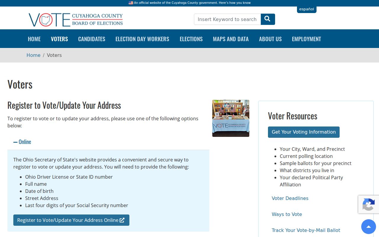
The visual resource is a useful entry point for election contacts. It does not change the name-and-county requirements of the individual voter lookup.
Postal Routes and Maple Heights Limits
ZIP boundaries route mail. Municipal record jurisdiction follows the parcel's city and County data. A city name can be an accepted mailing line, and a border address may receive a different postal zone. For that reason, 44125 or 44128 should not be assigned to Maple Heights without exact-address USPS evidence. A standardized mailing line also does not replace the Fiscal Office city field when selecting a custodian.
The City streets-by-district reference helps locate an address within local civic geography. It divides the City into seven Council districts and splits several long streets across ranges and districts. It is a routing aid for a City question, not an address-to-person directory.
The Maple Heights City Council page is the starting point for that district context.
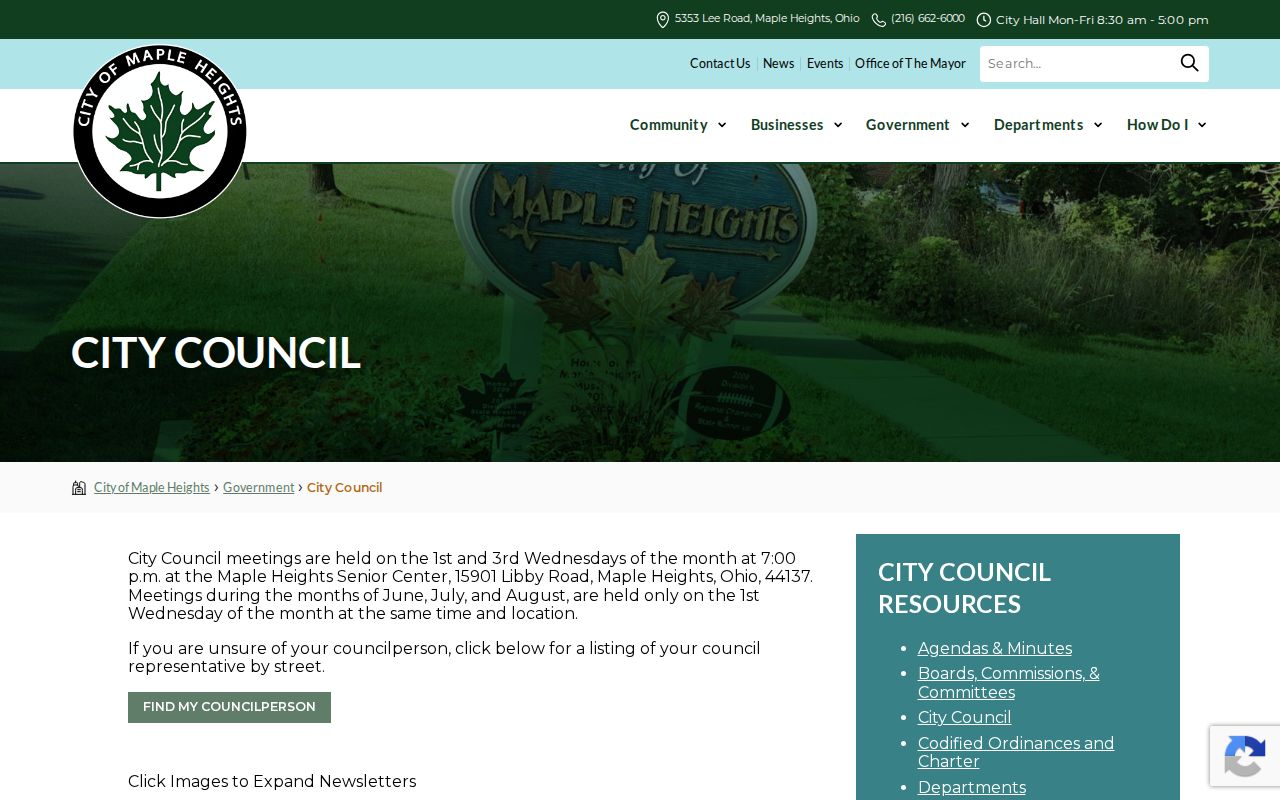
Use the Council district and Board street range information after USPS and parcel checks, not before them.
Maple Heights Address History
Modern postal codes do not carry the full history of a street. Maple Heights was northwest Bedford Township before village incorporation in 1915. The City charter was adopted in 1931, and city status became official in early 1932. An older record may therefore use Bedford Township, a village label, or Maple Heights while still referring to land now inside the same County system.
Historic maps, plats, tax records, and directory volumes work from township, municipal, subdivision, street, and legal-description systems rather than a current postal code. County Archives is the appropriate route for date-specific property research. Bring an address, parcel number, and any prior name or description, then preserve a discrepancy instead of guessing that two street descriptions are equivalent.
Note: A contemporary postal ZIP helps locate mail delivery, while a historic parcel trail must be built from records that existed in the period being researched.
Maple Heights Delivery Landmarks
Local landmarks can make a City request clearer without replacing an exact address. Maple Heights lists Stafford Park, Benhoff Park, and Southgate Park within a system of more than 40 acres. The City also notes bike-lane development beginning in 2020. These are useful geographic terms when asking about an old photo, council file, park record, or map, but they are not legal boundaries or parcel descriptions.
The Maple Heights parks and recreation page supplies the current local geography used in that context.
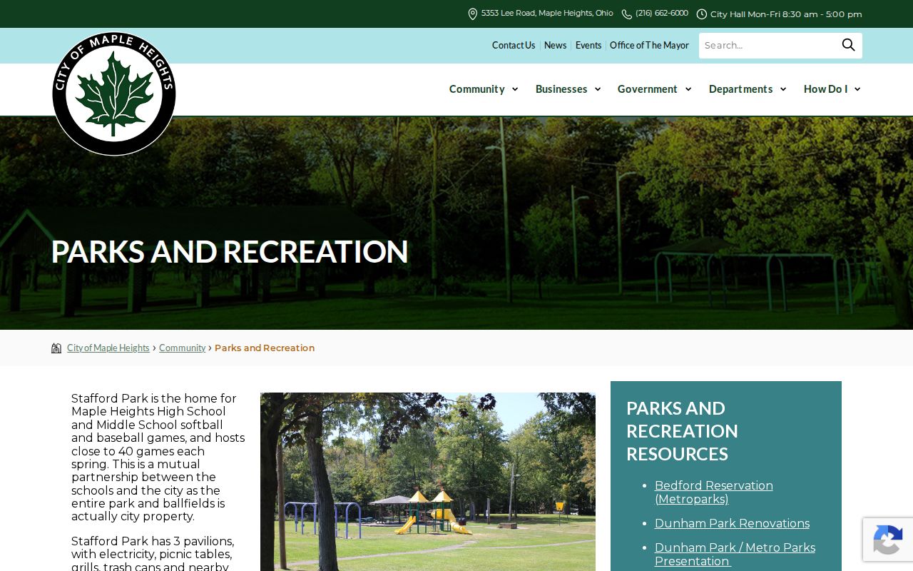
Pair a landmark reference with a street number, parcel ID, or legal description before directing a request to a City or County office.