
Maple Heights Street Directory by Address
Start with the parcel, not a name. In Cuyahoga County MyPlace, select Maple Heights as the city and use Address search for the target number and street. The selected parcel card creates the first reliable anchor: its parcel ID, map position, transfer path, and document-list link. The address-based search can document how public record systems describe a place, but the records do not merge into a current list of every person there.
For Maple Heights, keep the result narrow. One street number can lead to the site address, a tax-mail address, a current owner, a prior transfer, and a dated directory listing. None of those labels alone proves present occupancy. The useful sequence is address to parcel, parcel to recorded document, then historical or civic material only when it answers a defined question.
- In MyPlace, set City to Maple Heights, choose Address, and open the matching Parcel ID.
- Record the parcel ID, physical address, map location, listed owner and mailing-address context, transfer information, and Get a Document List link before moving on.
- Use the document list and the Recorder search to check the named parties, recorded date, legal description, and instrument type.
- Use the Board of Elections Street Range Guide or a narrowly framed Board request for election geography or a street-order records product, subject to statutory exclusions.
- For a past, dated address listing, consult the criss-cross or city-directory holdings and compare that entry with tax, map, and deed material.
MyPlace Fields for Maple Heights Streets
For Maple Heights, MyPlace is a convenient county property service, not the official recorded instrument. Its City selector is useful because it removes same-street results elsewhere in Cuyahoga County. The address workflow begins with Address, but Owner and Parcel searches are useful for checking an already identified record. After selecting a result, use the parcel card as a routing tool rather than as a final answer.
| MyPlace field or tab | How it works | Street-research use |
|---|---|---|
| City | Optional dropdown | Select Maple Heights before searching a repeated street name. |
| Search By | Required mode selector | Choose Owner, Parcel, or Address before entering text. |
| Search input | Required text field | Its format changes with the chosen mode. |
| View Map / Go To Full Map | Result control | Links the found parcel to its map position and nearby parcel context. |
| Transfers and Get a Document List | Parcel-card paths | Moves from the parcel to transfer context and Recorder material. |
| Tax By Year and Permits | Parcel-card tabs | Shows tax-history and county-linked permit pathways where populated. |
Cuyahoga County’s property-tax service describes address, owner-name, and parcel-number searching and points back to the same property record path.
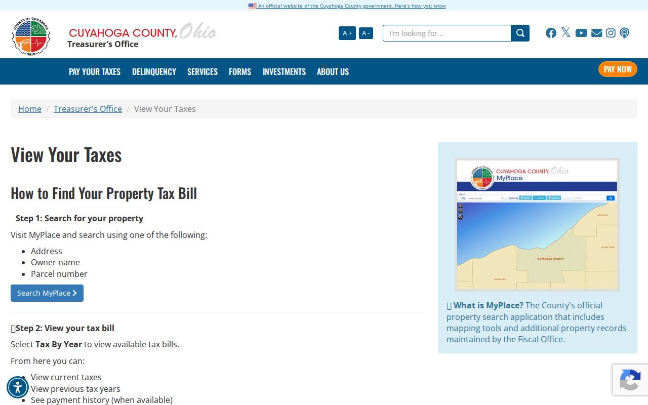
For Maple Heights, the tax route can help place a parcel in a billing timeline, but its page does not replace the recorded document or establish who is at the address today.
Maple Heights Street Parcel Context
For a Maple Heights address, map view is useful for seeing the parcel that corresponds to an address and for selecting the next record to examine. The Cuyahoga County Fiscal GIS Hub is the county’s map entry point, and MyPlace directs users to zoom in and click a parcel for information. The public research capture did not verify a dedicated buffer, radius, or layer menu, so ordinary zoom-and-click navigation is the defensible method to describe.
- Parcel
- A county property unit with an identifier that ties the map, property card, tax information, and recorded-document trail together.
- Situs address
- The physical location of the parcel. It differs from the address used for tax mail when the two do not match.
- Legal description
- The lot, block, subdivision, or other land description used in a recorded instrument. It can remain useful when street wording changes.
- Criss-cross directory
- A dated reverse directory arranged from address to listed name, rather than from name to address.
A Maple Heights parcel boundary is land geography. It is not an identity label for the people nearby. Save the parcel ID first, then move to the card and the document chain only as far as the question requires.
Maple Heights Street Records by Address
Maple Heights address custodians answer different questions. The parcel card is the starting point for a current property relationship. The Recorder establishes the instrument trail. Archives material can place a street or lot in an earlier period. City files are a request-based route when the question is about an existing permit, inspection, or code record. The coverage below keeps those roles distinct.
| Address record | Custodian | What it can show | Access and limit |
|---|---|---|---|
| MyPlace parcel card | Cuyahoga Fiscal Office | Parcel ID, transfer route, values, map, tax, permit, and document links | Free convenience service, not itself the official record. |
| Official Records Search | Cuyahoga Fiscal Office, Recorded Documents | Grantor/grantee roles, recorded date, document details, and legal-description terms | Index and image pathway for instruments filed from 1810 forward; use the counter for official verification. |
| Tax records and appraisal cards | Fiscal Office and County Archives | Assessed context, tax-duplicate trail, and historic appraisal material | Archives holds tax records circa 1819–1986; later records are online or available by phone. |
| Maps and atlases | County Archives and Fiscal Map Room | Parcel boundaries, historic street or structure context, and older ownership clues | Archives appointment for 1860–1945 maps; later volumes are at the Map Room. |
| City building or code file | Maple Heights Building and Law Departments | Existing permit, inspection, or code material for a specified property | No searchable citywide portal was located; use a counter inquiry or public-record request. |
| Street-order election material | Cuyahoga County Board of Elections | Election geography and a records product in street order | Request-based and subject to protected-record exclusions; it is not a full occupancy record. |
For a Maple Heights street, the parcel ID is the practical hinge between these sources. It anchors a MyPlace card, appears in Recorder search guidance with dashes, and gives City or Archives staff a clearer way to locate the property. A street name can still be useful, but an older map, description, or directory may use a different form.
Deed Chains Along Maple Heights Streets
The Recorder is not a simple street-address index. Start with the MyPlace document list, note the owner, transfer date, parcel ID, legal description, and document reference, then use the Official Records Search to look for the acquisition instrument. Its search term accepts grantor/grantee, subdivision, document type, or document number, while Recorded Date can narrow a range. Parcel IDs use dashes in the search guidance.
In a Maple Heights deed chain, grantor means the party conveying an interest; grantee means the party receiving it. Search the current owner in the grantee role near a transfer, read the legal description and document number, then look for the prior party in the earlier role. The Full Text OCR option can find a phrase beyond formal metadata, but OCR should be checked against the recorded image. An index hit is not a complete title search.
Cuyahoga County Recorded Documents explains the Recorder’s office and its document resources.
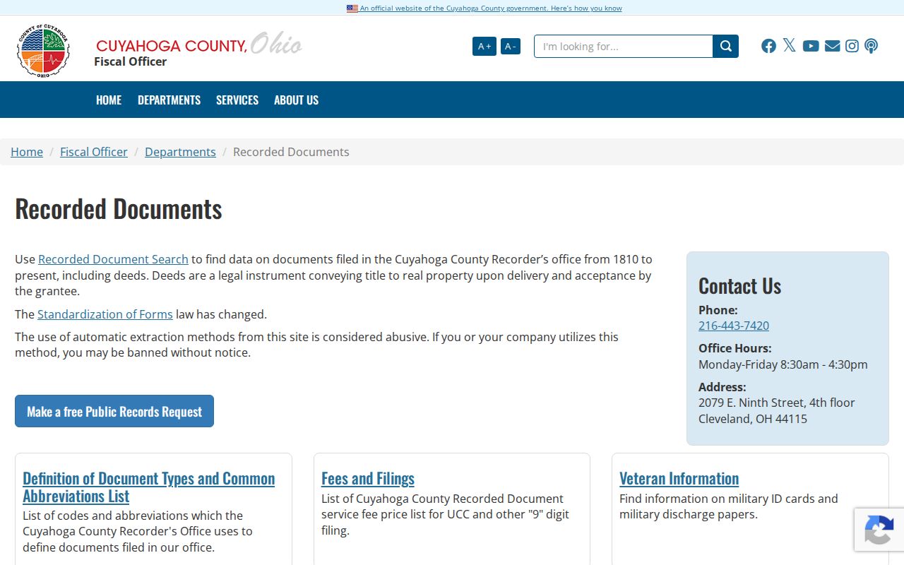
Recorded documents supply the official instrument path an address-search result needs when a transfer or legal description must be verified.
Maple Heights Building Records by Address
MyPlace includes a Permits tab and building-information modules where county-linked data is populated. When the tab is empty or a date needs confirmation, the City Building Department is the local fallback. The City guide lists the department at City Hall and describes its permitting and local-code role. Give the exact street number, street name, parcel ID, the kind of file sought, and an approximate date range.
Maple Heights did not have a searchable public permit or code-case portal in the material reviewed. A request for an existing City record can go through the Law Department under the Ohio Public Records Act. The City’s public-records procedure also permits inspection during its stated inspection hours, and a person does not lose the right to request records by declining the optional form.
The Maple Heights Building Department is the City’s starting contact for that address-specific request.
A permit or inspection file may name a project contact or owner, but it does not establish a complete set of people at an address.
Historic Maple Heights Street Listings
For a dated address-to-listed-name question, use the reverse or criss-cross directory shelf rather than recasting a modern parcel card as a past resident list. Maple Heights appears in the Bedford City Directory beginning in 1939. Transcribe the street number, volume year, and page, then use the alphabetical portion to check spelling and the volume’s abbreviation key. A dated listing belongs with its edition year.
Older property work can require a different place name. Maple Heights grew from the northwest part of Bedford Township and was incorporated as a village in 1915. A pre-incorporation tax map, directory, or deed may therefore be organized under Bedford Township or a county record group. County Archives warns that street names, dimensions, and legal descriptions can change, which is why a parcel number and map notes matter.
Cuyahoga County Archives property research lists maps, tax records, and appointment-based access for earlier property evidence.
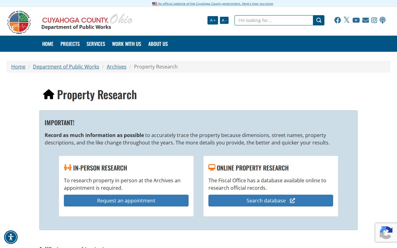
Archives material can explain an old street or lot description, but it should be compared with the relevant deed and tax record before drawing a conclusion.
Maple Heights Street District References
For Maple Heights, the City’s streets-by-district table and the Board of Elections Street Range Guide provide two different kinds of street geography. The City table routes street ranges among seven Council districts. The Board guide lists odd and even address ranges with ward, precinct, ZIP, and legislative or school-district context. They can help send a civic question to the correct office or describe a range accurately.
For Maple Heights, neither reference identifies a person. For example, a street can be divided between several districts, as the City’s Lee Road and Libby Road entries show. Record the exact range and the source date before contacting a City office or requesting a Board record. For individual registration verification, Ohio My Voter Information searches a name and county, then may offer street-name narrowing. It is not a browse-by-street directory.
Maple Heights Address Forms Matter
One Maple Heights address search can encounter three legitimate address forms. The situs is the physical parcel location. A mailing address is where tax or record mail goes. The legal description is the lot, block, subdivision, or other text in the recorded instrument. USPS, meanwhile, is the authoritative route for a delivery ZIP. These fields serve different custodians and should not be silently forced into a single version.
For an edge street, confirm the delivery line with USPS, then confirm the parcel’s City field in MyPlace. County Archives recommends detailed address notes because street names and property descriptions change over time. That small research log helps distinguish an input problem from a genuine historic wording change.
Limits of a Maple Heights Street Directory
A street directory can connect public land records, civic geography, and dated listings, but it cannot establish a complete current roster for a street. A parcel map shows land. A tax-mail field can differ from the site address. A voter-related record is subject to Ohio’s exclusions for confidential registrations and protected information. Utility and delivery records are not public resident lists, and motor-vehicle personal data has separate federal protections.
For Maple Heights, use the smallest record trail that answers the real question. If a portal entry appears wrong, ask the Fiscal Office or Recorder for the correction route tied to the underlying record instead of repeating an unverified result.
Lawful use. Use Maple Heights address records for personal, lawful research and civic questions, never to stalk, harass, intimidate, or harm another person.