
Maple Heights Previous Resident Sources
A Maple Heights address history works from the most stable property identifier toward the records that describe people at a dated moment. The Cuyahoga County Recorder provides the recorded-document chain, while County Archives supplies maps, taxes, appraisal cards, and older source groups. Directories and released census records can then test the household layer. Starting with the source that fits the era prevents a modern street number from doing more work than it can support.
| Source | Years It Covers | Where Held | What It Shows |
|---|---|---|---|
| Recorded deeds and documents | 1810–present | Cuyahoga Official Records and Recorder counter | Recorded parties, legal description, document number, and recording date. |
| Historic tax records | c. 1819–1986 | Cuyahoga County Archives | Owner and value trail, best compared across multiple years. |
| Original map volumes | c. 1860–1945 | Cuyahoga County Archives | Property and structure context for the map year. |
| Real Estate Appraisal Cards | c. 1935–1970 | Cuyahoga County Archives | Mid-century parcel and appraisal context. |
| Bedford directories including Maple Heights | 1939, 1945, 1948, 1950, 1952, 1954, 1955–56, 1957, 1959–1961, 1963 | Cleveland Public Library History Department | Dated alphabetical and, where available, address-first listing clues. |
| Federal census | 1790–1950 currently open | National Archives and CCPL licensed sources | Household composition on census day after a directory or address lead. |
| Probate estate files | 1813–1918; indexes 1813–1993 | Cuyahoga County Archives | Heirs, executors, and a record trail following a death. |
For recent Maple Heights past-resident research, start with the parcel number and transfer information. For an older address, begin with the legal description, tax map, or atlas instead. County Archives lists Cuyahoga atlases for 1852, 1874, 1892, and 1903, tax maps for 1860, 1870, 1880, and 1890, and later original map volumes. Each source needs its own date and jurisdiction label in the research notes.
Start Maple Heights History With a Parcel
Cuyahoga County MyPlace is the practical first screen for a present-day address. Set City to Maple Heights, choose Address, open the parcel card, and save the parcel ID, address, Transfers tab, legal-recording link, and map position. The card can also expose values, land, building information, permits, tax-by-year material, and a document-list route. It can identify current parcel relationships, but it is not an official county record and it does not establish a complete list of people at an address.
For Maple Heights history, the property path is: address → parcel ID → transfer or document list → legal description → recorded instrument → earlier party. Use the parcel ID before switching to a legal-description search. That local practice is important because the Recorder is not primarily an address index. Its search accepts party names, subdivision, document type, document number, and date, with parcel IDs entered using dashes.
Research tip. Save the parcel number and legal description before working backward, because an older street name or changed description may not match the current address.
Trace Maple Heights Deeds Backward
The Cuyahoga Official Records Search reports recorded-document coverage from 1810 to the present. Use the date range, indexed party roles, document number, and legal description together. Search the party who transferred the Maple Heights property as a grantee to locate that person’s earlier acquisition, then repeat. Full Text OCR can find a phrase in document text, but an OCR result should be checked against the official recorded image. The Recorder’s documents, not the MyPlace display, are the record trail to verify.
- Open the Maple Heights parcel card and copy the parcel ID, current address, legal description, and transfer or document-list references.
- Find the current acquisition instrument in Official Records and record the document number, recorded date, indexed parties, and description.
- Identify the party who conveyed the property, then search that party as a grantee to locate the earlier acquisition.
- Repeat the sequence backward, comparing the legal description each time and noting whether the instrument is a deed or another record type.
- When an index result is uncertain, use the Recorder counter or County Archives property-research route to inspect the corresponding historic record.
- Grantor and grantee
- The grantor is the party transferring an interest in a recorded instrument; the grantee is the party receiving it.
- Chain of title
- The sequence of recorded transfers connected through the same property description, not merely a list of matching names.
- Legal description
- The lot, block, subdivision, or other formal property wording that can bridge a changed street address.
The portal’s index and full-text modes work differently: index mode treats multiple words separately, while OCR mode treats multiple words as a phrase. Do not promise that every early document is scanned or indexed with equal name quality. A document number, recorded image, and matching description are stronger than an unverified name hit.
Maple Heights Maps and Tax Cards
For Maple Heights, County Archives is the key fallback for a long address history. Its property-research guidance says to start with the street address or parcel number and warns that dimensions, street names, and property descriptions can change. Deed and ownership documentation from 1810 onward is online or available in person at the Recorder. At the Archives, original map volumes cover 1860–1945, while the Fiscal Office Map Room holds 1945–present volumes. Historic tax records cover about 1819–1986, and appraisal cards cover roughly 1935–1970.
The County Archives access page describes its reference library, staff help, and request method. A Maple Heights property-research request requires an appointment. Email or mail requests should name the record type, surname, relevant dates, and any known page, volume, petition number, address, or parcel. The archive gives a three-week response estimate when a request provides sufficient detail.
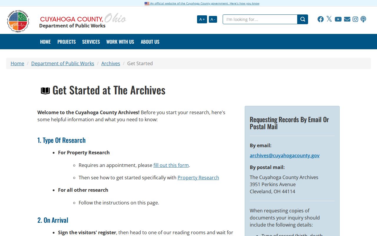
Maps, taxes, and appraisal cards do not replace a recorded deed. They can test whether the property description, structure, or value trail continues across a period where a directory or modern address search becomes thin. Record the map year, source title, and the property wording shown on the item.
Maple Heights Directory Household Trail
Previous residents are not necessarily the same as recorded parties. The household layer comes from dated listings and census-day records. Cleveland Public Library’s directory guide confirms that the Bedford City Directory series includes Maple Heights beginning in 1939. A criss-cross entry, when present, works address first: copy the street number, printed name, edition, and page, then turn to the alphabetical entry for the same person. The directory collections themselves are detailed on the Maple Heights city directories page.
For Maple Heights material before the 1939 local inclusion, use broader Cleveland directories and County Archives sources with Bedford Township terms. A city directory proves that an entry was printed in a particular edition. It does not prove ownership or every person at the address. Use the wording "listed at" and cite the volume rather than turning a single line into an undated household conclusion.
- Choose the closest available directory date and transcribe the name, address, source title, and page exactly.
- Compare the next available edition in either direction, preserving gaps rather than assuming annual publication.
- Use an address-first criss-cross section, when available, to test the same street number for that edition.
- Match the dated directory lead to the released federal census for its decade, using the address and enumeration district where needed.
- Use an obituary, Probate estate file, tax record, or deed to distinguish a move, death, or property transfer.
Maple Heights Before City Records
Maple Heights began as the northwestern portion of Bedford Township. The City was incorporated as a village in July 1915, adopted its charter in 1931, and became a city on January 1, 1932. That timeline changes the best search label. A pre-1915 directory, deed, tax map, or estate item may sit under Bedford Township or Cuyahoga County rather than Maple Heights. An absence under the modern name is a reason to change the jurisdiction search, not a negative result.
The Encyclopedia of Cleveland History account of Maple Heights supplies the Bedford Township background and the area’s rail and interurban context. Its screenshot supports the historical boundary check before a researcher decides that an old record belongs somewhere else.
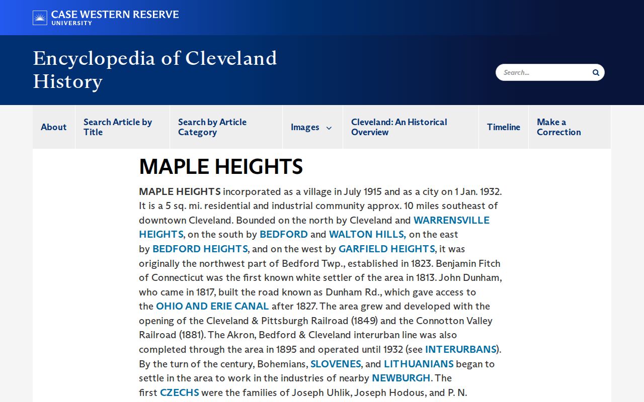
For an old Maple Heights property, add the predecessor label, old street name if known, parcel ID, subdivision, and legal description to the search notes. The City’s history and Case Western account agree on the township roots and the 1915 and early-1932 milestones. They are context for locating a record, not substitutes for the property document itself.
Past Residents and Probate Endpoints
When a Maple Heights name disappears from a directory or property trail, County Archives’ historic Probate material can offer a next step. The Archives lists Probate estate case files from 1813–1918 and indexes from 1813–1993. Estate records can name executors or heirs and help place a change in the recorded chain. The repository also lists historic birth, death, marriage, naturalization, and election material that may help distinguish people with similar names.
The Cuyahoga County public-records FAQ gives the County’s broader routing for vital records, Probate, and Archives. Its screenshot is a useful checkpoint when the needed item is not in a web index or a record requires a custodian’s copy channel.
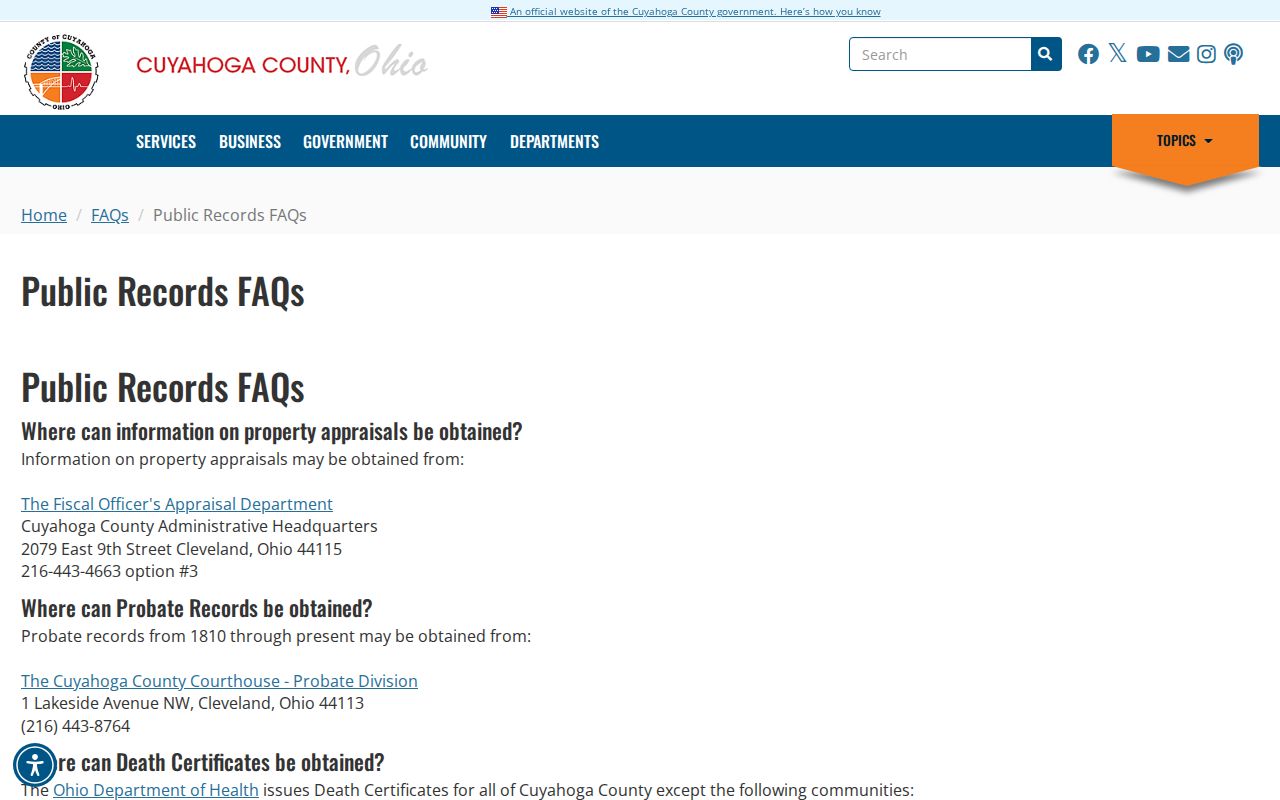
Use the Maple Heights archive or Probate channel for a defined record request, not a broad search for living people. Supply the address trail, time window, and known document or case reference. That gives staff a practical way to locate the relevant historic group.
Lawful Maple Heights House History
Maple Heights past-resident research is best used for family history, estate and heir questions, a property’s documented story, or personal civic curiosity. It is also a process of separating claims: a recorded deed shows an instrument, a tax record shows an assessment-era trail, a directory shows a printed listing, and a census records one household on one day. Keep the sources separate and verify important facts with the holding office.
Lawful use. Use Maple Heights address history for legitimate personal research. Do not use information from records to stalk, harass, or harm any person; Ohio law addresses menacing by stalking and telecommunications harassment.
Note: An address history should preserve uncertainty, especially when a street name, number, parcel description, or jurisdiction label changes over time.